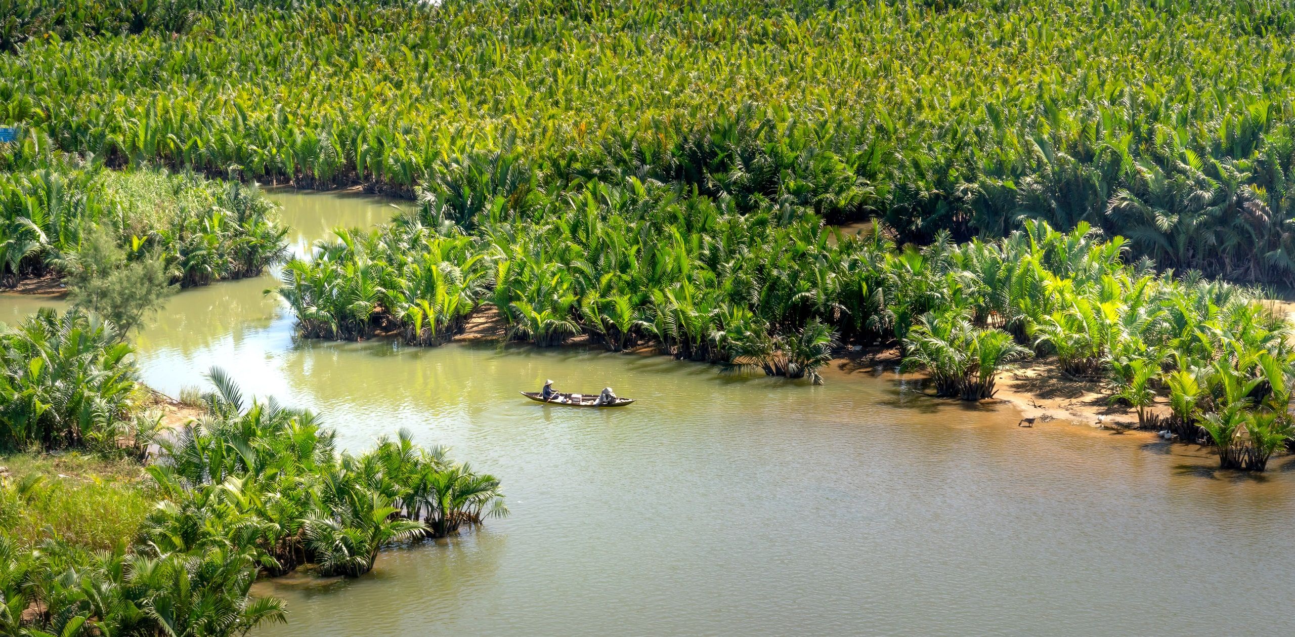
Photo by Quang Nguyen Vinh on Pexels
The Mekong in Vietnam: where the river runs, from the border to the sea
The Mekong enters Vietnam already split into two branches. It crosses the delta, divides again and ends in the South China Sea. Here's where it runs, town by town, and how the delta lives by its floods.
Where the Mekong runs in Vietnam
The river arrives from Cambodia in two branches, split since Phnom Penh. The Mekong proper, the Tien, crosses the border near Tan Chau; the Bassac, the Hau, near Chau Doc.
Both branches cross the delta from northwest to southeast, side by side, linked by a network of canals. The Hau passes Can Tho; the Tien passes Vinh Long and My Tho, facing Ben Tre province.
Before the sea, they divide again and flow into the South China Sea through several mouths. The Vietnamese call the river Cuu Long, “the nine dragons,” after its nine historical mouths.
Ho Chi Minh City is not on the Mekong: it lies on the Saigon River, northeast of the delta. It is still the most common gateway.
Vietnamese towns on the Mekong and the Bassac, from upstream to downstream
First along the Bassac, then along the main branch. Ferries and bridges link the banks.
-
Chau Doc
A border town on the Bassac, where boats from Phnom Penh arrive. Floating villages and Sam Mountain.
Our guide to Chau Doc → -
Tan Chau
On the main branch, just past the border, on the boat route to Phnom Penh. Since the late 19th century it has woven lanh My A, a black silk dyed with the mac nua fruit.
-
Can Tho
Our pickThe delta's big city, on the Bassac. The starting point for the floating markets, best seen at sunrise.
Our guide to Can Tho → -
Vinh Long
On the main branch, facing islands covered in orchards. A place for homestays.
-
My Tho
Our pickThe delta gateway closest to Ho Chi Minh City, on the main branch.
-
Ben Tre
Across from My Tho, the coconut province, crisscrossed by small canals you explore by rowboat.
Our guide to Ben Tre →
The two branches of the Mekong in Vietnam, the Tien and the Hau
In Vietnam, the Mekong is no longer one river but two, then about ten branches down to the sea.
The Tien
Tan Chau → Vinh Long → My Tho
The main branch, the Mekong proper. It splits again before the sea, around Ben Tre.
The Hau, or Bassac
Chau Doc → Can Tho
The second branch, split from the first in Phnom Penh. The big floating markets are held along its banks.
The mouths
Cuu Long, the nine dragons
The two branches used to reach the sea through nine mouths, hence the name. Seven are still active: Ba Lai has been closed by a dam since the early 2000s, and Ba Thac has silted up.
The Mekong in Vietnam through the seasons
From December to April, the dry season is the most pleasant in the delta. From September to November, the flood season floods the rice fields of the upper delta, around Chau Doc.
Best time for the delta: floods, tides and dry season →Questions about the Mekong in Vietnam
Is Ho Chi Minh City on the Mekong?
Why is the Mekong called the “nine dragons”?
Where does the Mekong meet the sea?
When does the Mekong flood in Vietnam?
Sources: river course and borders, Natural Earth; length calculated on that course; mouths, Heritage (Vietnam Airlines, 2023) and VnExpress (2012); lanh My A silk, Vietnam National Authority of Tourism; road, GoAsia (2026); floods, VnExpress (2025), Nong nghiep va Moi truong (2025) and Viet Nam News (September 2026). Updated October 12, 2026 by Pierre-Marie Coupry.