The slow boat, Huay Xai – Luang Prabang
2 days · Laos

Photo by Swapnil kulkarni on Unsplash
20 towns and villages along the river, from Yunnan to the delta, in the direction of the current. Each guide covers what to do, where to stay and how to reach the next stop.
Rather search by country? The Mekong country by country
Here the river is still called the Lancang. It leaves the gorges of Yunnan for the plains of Xishuangbanna.
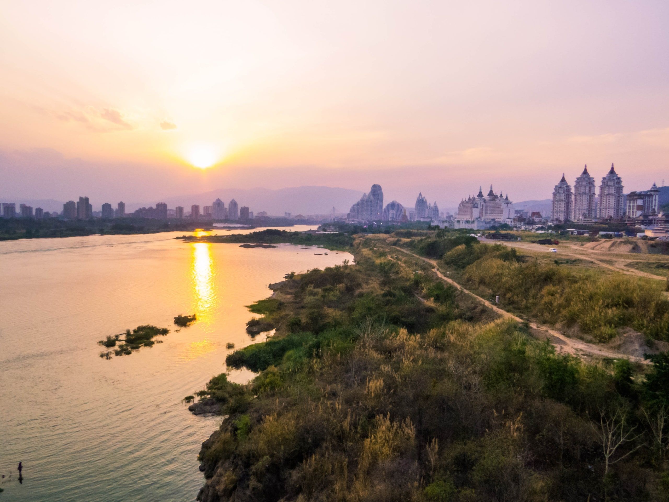
Photo by Shutterstock
Capital of Xishuangbanna, in Yunnan. The last big stop before the Golden Triangle.
The river separates Thailand from Laos, then enters Laos. Two days by slow boat to Luang Prabang.
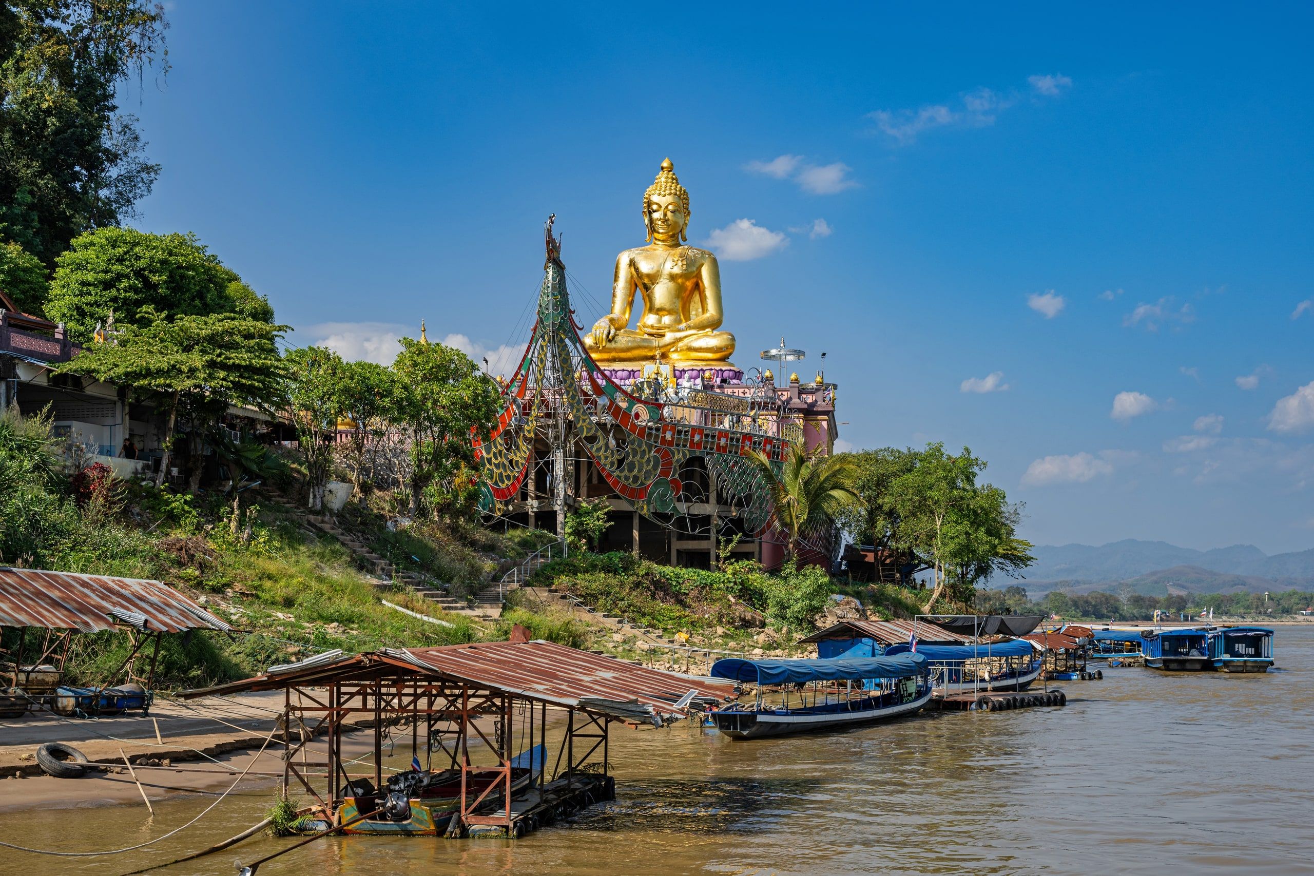
Photo by Shutterstock
An old town on the riverbank, a few kilometers from the Golden Triangle.
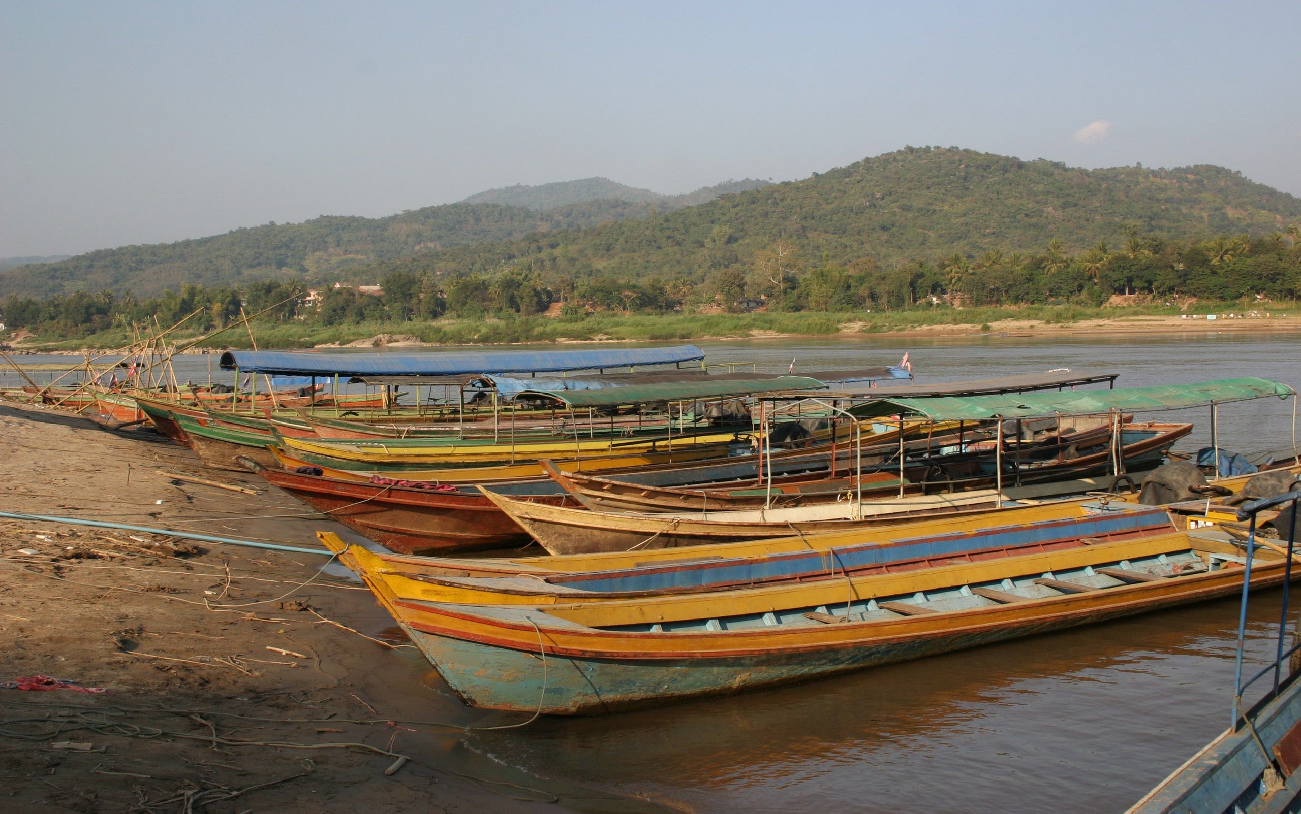
Photo by Gerd Eichmann on Wikimedia Commons · CC BY-SA 4.0
The Thai side of the 4th Friendship Bridge, across from Huay Xai.
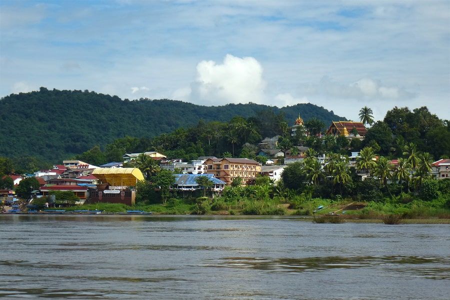
Photo by Tango7174 on Wikimedia Commons · CC BY-SA 4.0
The gateway to Laos from Thailand. Where the slow boat leaves.
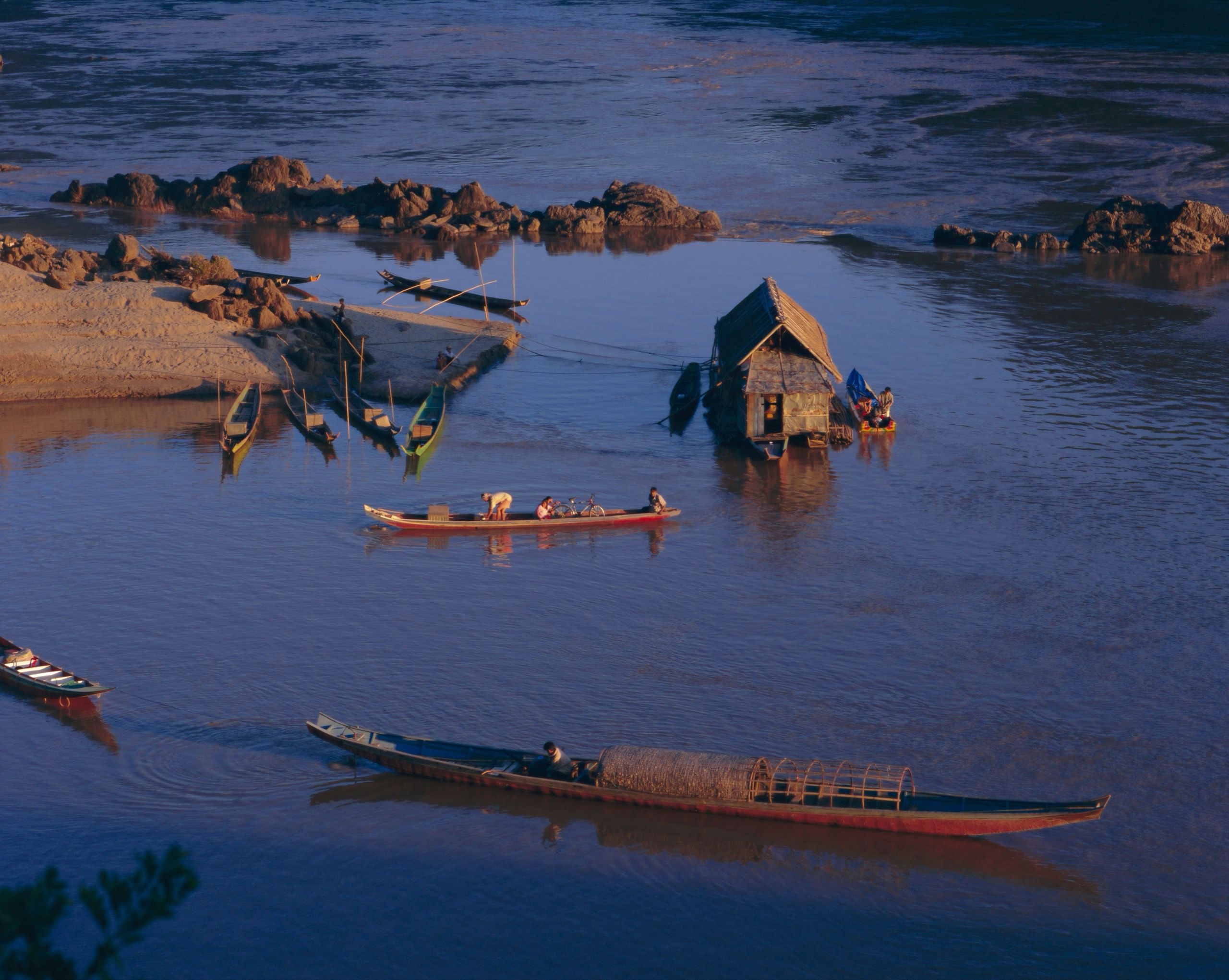
Photo by Shutterstock
A village stepped up the riverbank, the overnight halfway stop of the slow boat.

Photo by Mon Jester on Unsplash
The former royal capital, a UNESCO World Heritage Site.
For hundreds of kilometers, the river separates Laos from Thailand. The Friendship Bridges link the two banks.
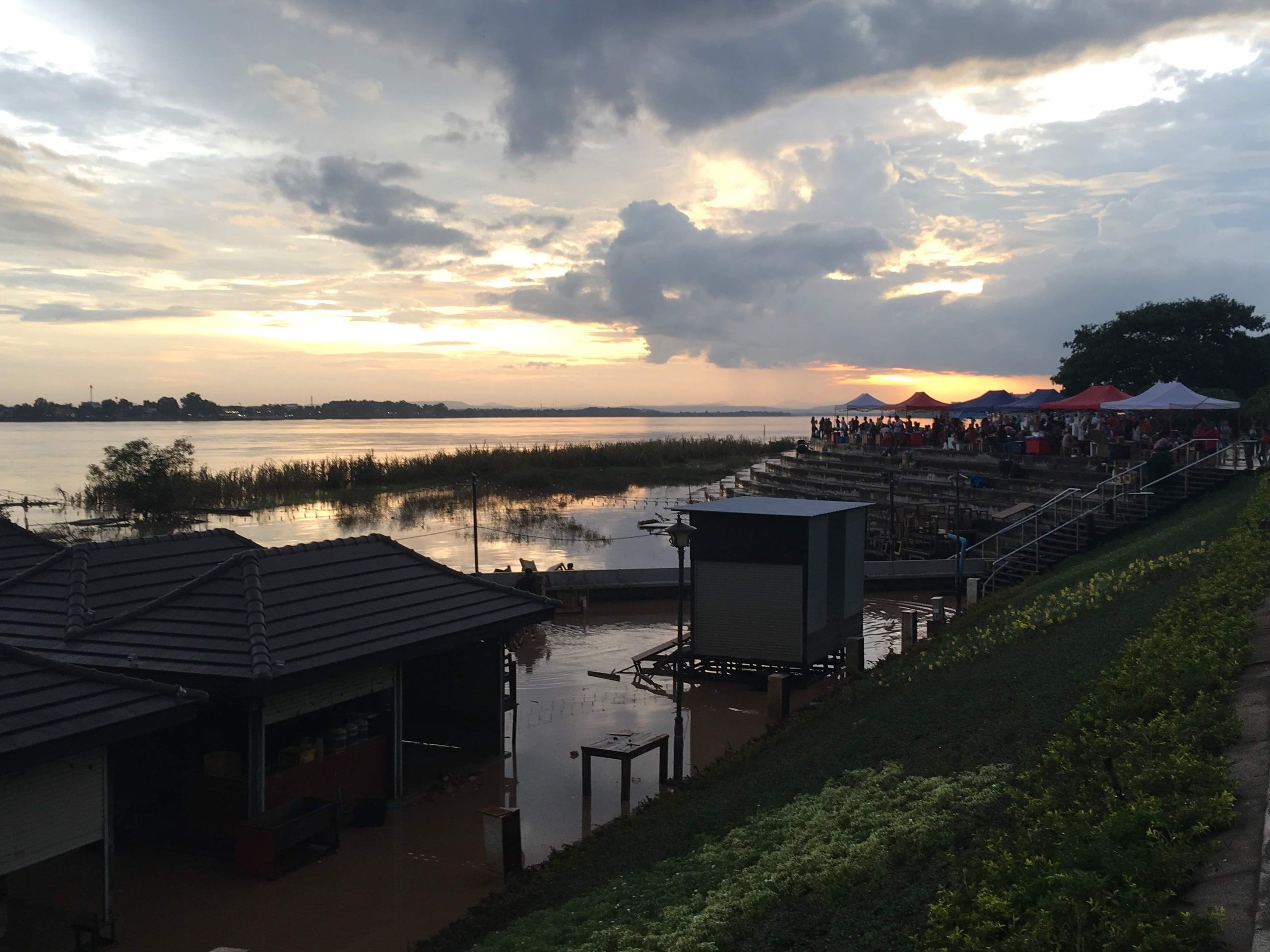
Photo by Christophe95 on Wikimedia Commons · CC BY-SA 4.0
The capital, facing Thailand, along a riverbank turned into a promenade.
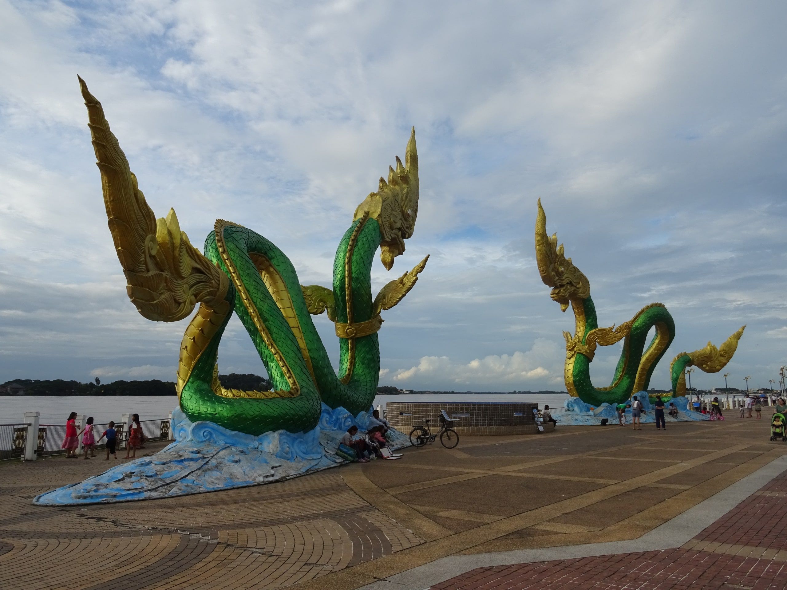
Photo by Christophe95 on Wikimedia Commons · CC BY-SA 4.0
Across from Vientiane, at the end of the Friendship Bridge. The naga fireballs at the end of Buddhist Lent.
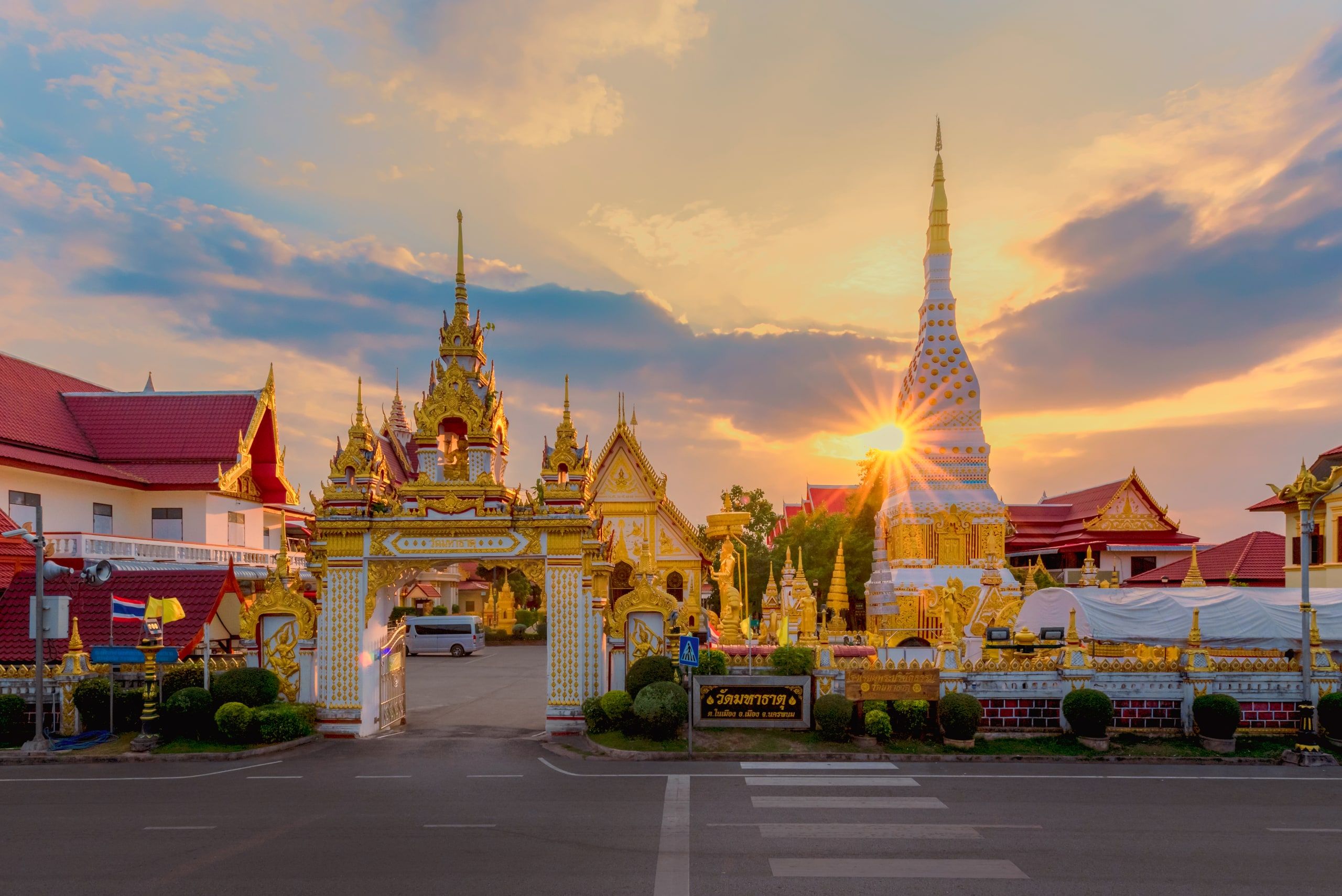
Photo by JayaJoe on Wikimedia Commons · CC BY-SA 4.0
A riverside promenade facing the mountains of Laos. 3rd Friendship Bridge to Thakhek.
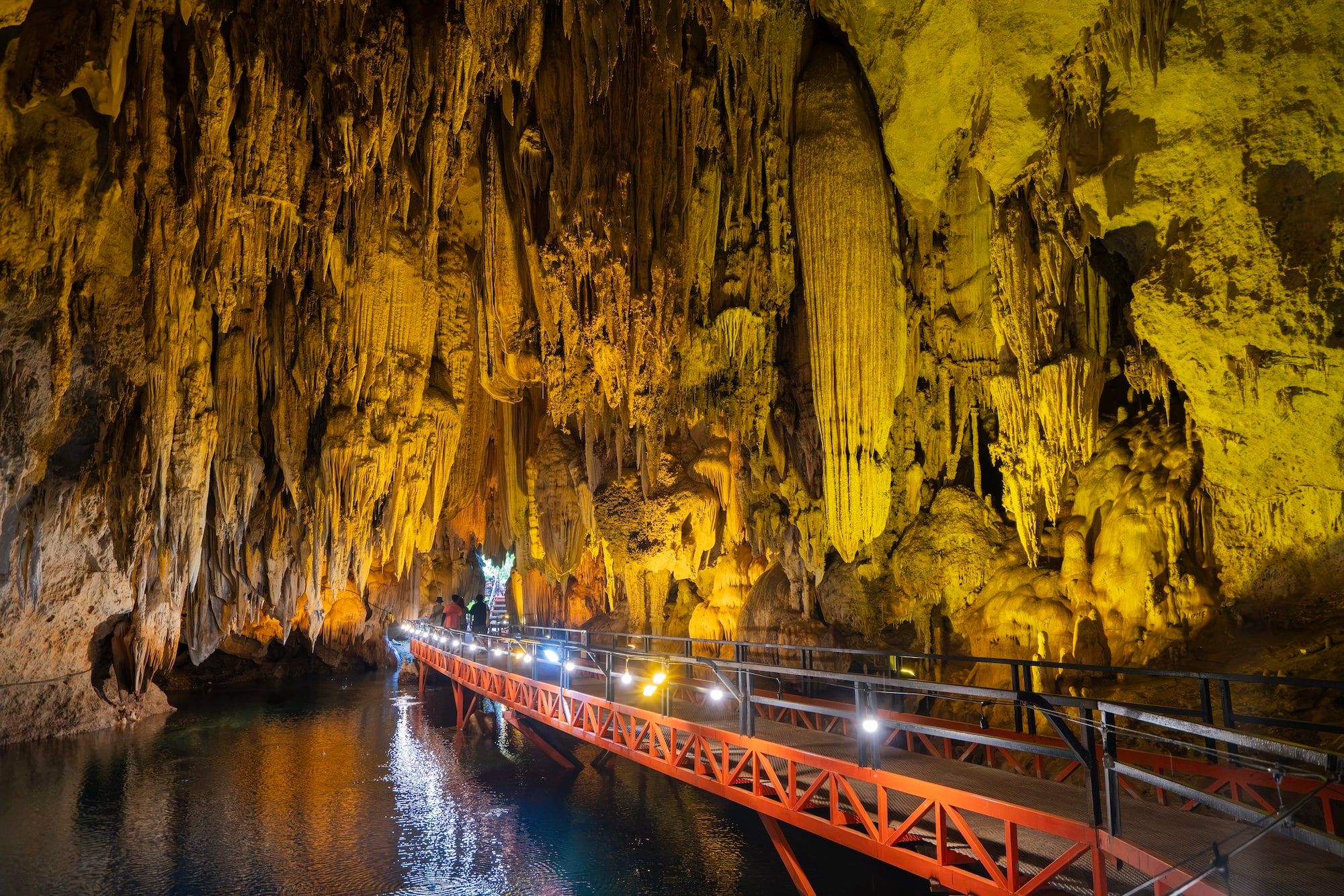
Photo by Shutterstock
The starting point for the Thakhek Loop and Kong Lor Cave.
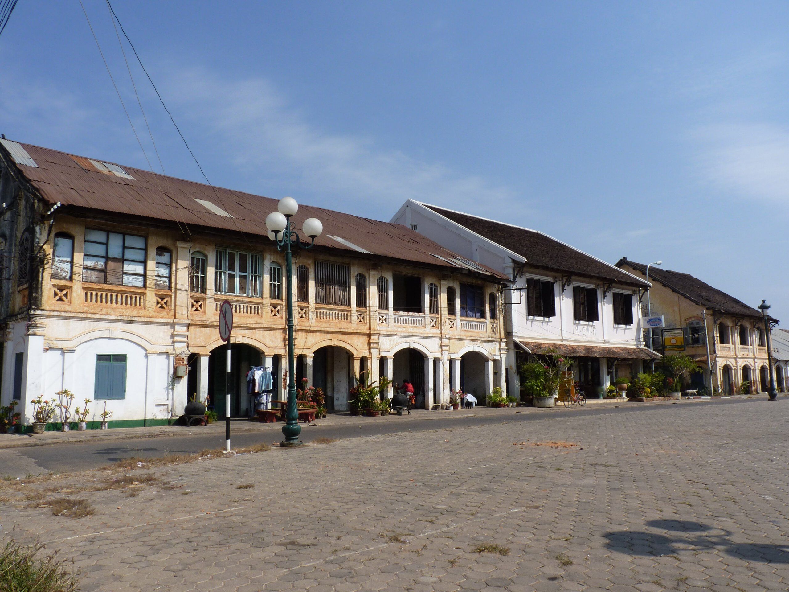
Photo by Adriaan Castermans on Wikimedia Commons · CC BY-SA 3.0
A quiet old colonial town, with a bridge to Mukdahan in Thailand.
The river widens, splits into channels and islands, then hits the Khone Falls.
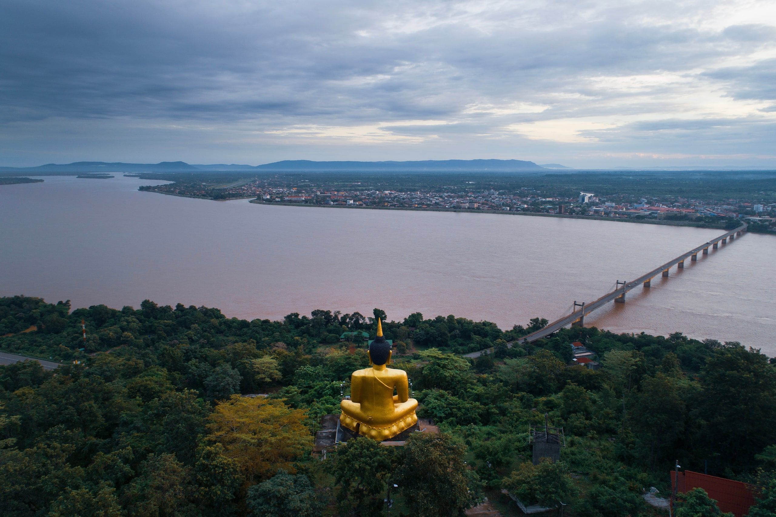
Photo by Shutterstock
The crossroads of the south, where the Xe Don joins. A base for the Bolaven Plateau.
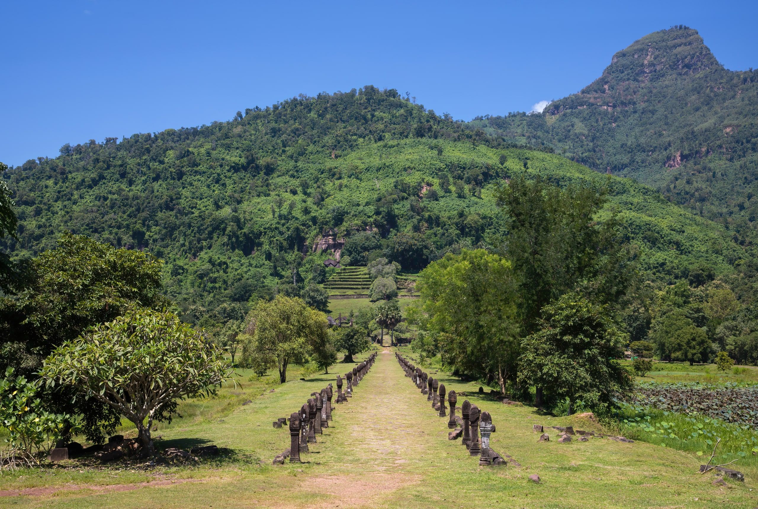
Photo by Basile Morin on Wikimedia Commons · CC BY-SA 4.0
Wat Phou, a Khmer temple and UNESCO World Heritage Site.
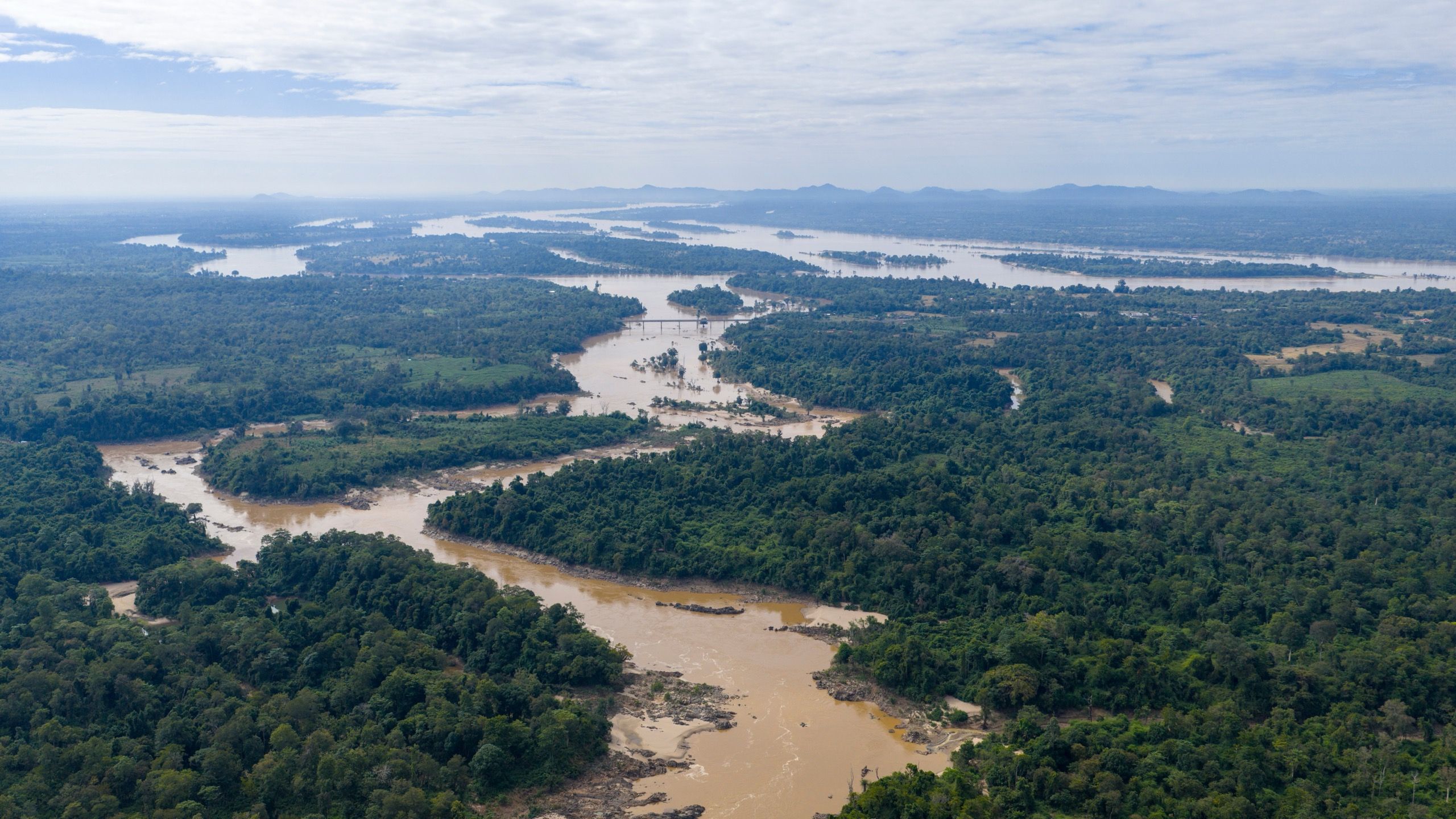
Photo by Shutterstock
Inhabited islands and the Khone Falls, just before the Cambodian border.
Fewer tourists, a huge river, and the last Irrawaddy dolphins.
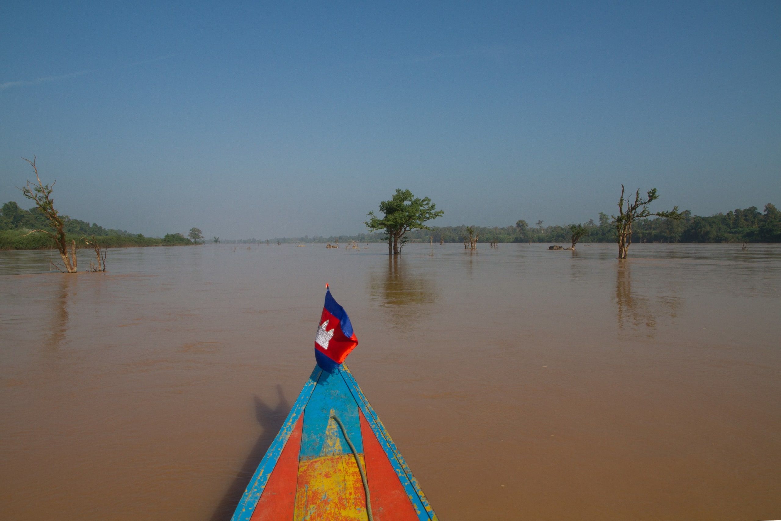
Photo by Christian Pirkl on Wikimedia Commons · CC BY-SA 4.0
The first Cambodian town after the border, where the Sekong joins.
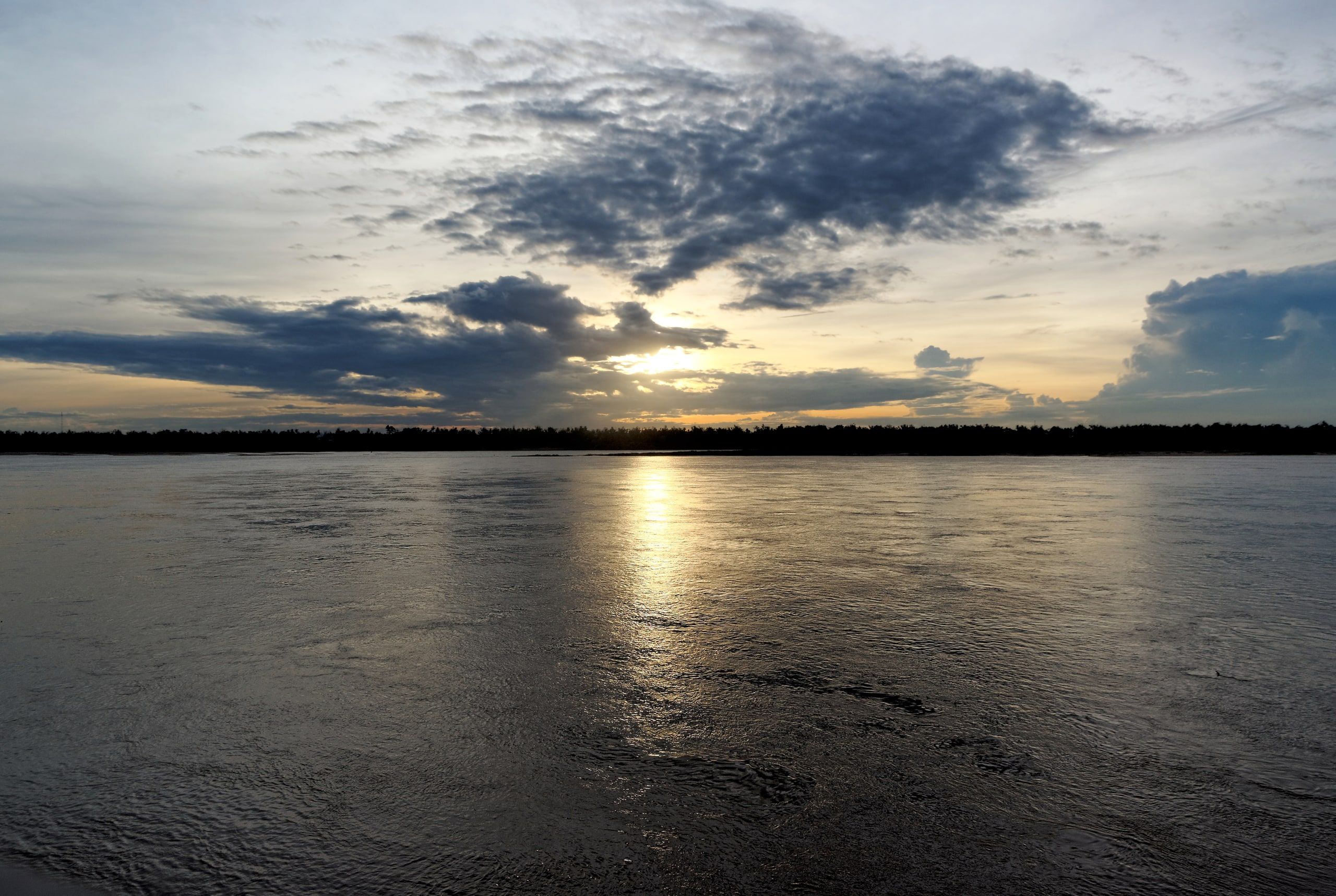
Photo by Jakub Hałun on Wikimedia Commons · CC BY-SA 4.0
The Irrawaddy dolphins, a few kilometers upstream of town.
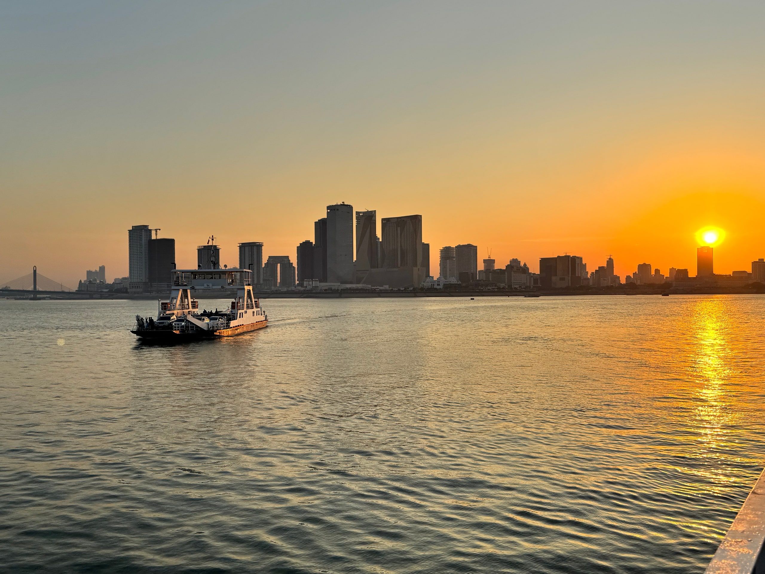
Photo by Shutterstock
The capital, where the Mekong meets the Tonle Sap.
The river splits into branches down to the sea. You get around by boat between canals, orchards and markets.

Photo by Florian Delée on Unsplash
The first town in the delta when you arrive from Cambodia by river.

Photo by Monika Guzikowska on Unsplash
The delta's big city and its floating markets.
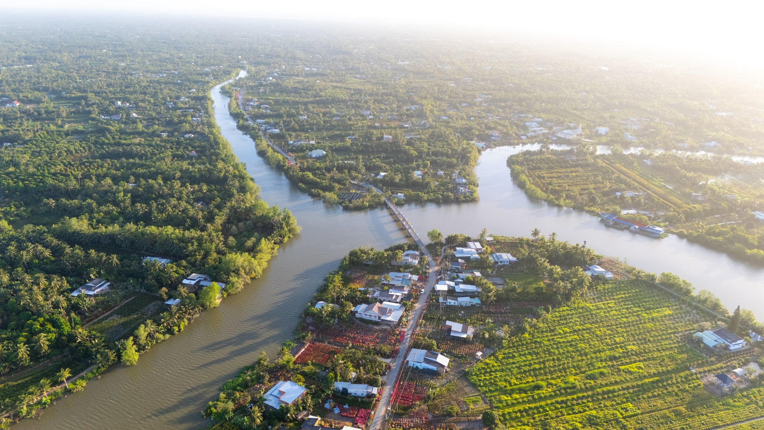
Photo by Shutterstock
Coconut groves, orchards and canals, on an eastern branch of the delta.
The river is rarely traveled in one go. Three itineraries that link the stops, by boat whenever possible.
2 days · Laos
21 days · from Luang Prabang to Phnom Penh
1 to 2 days · Kaam Samnor – Vĩnh Xương border