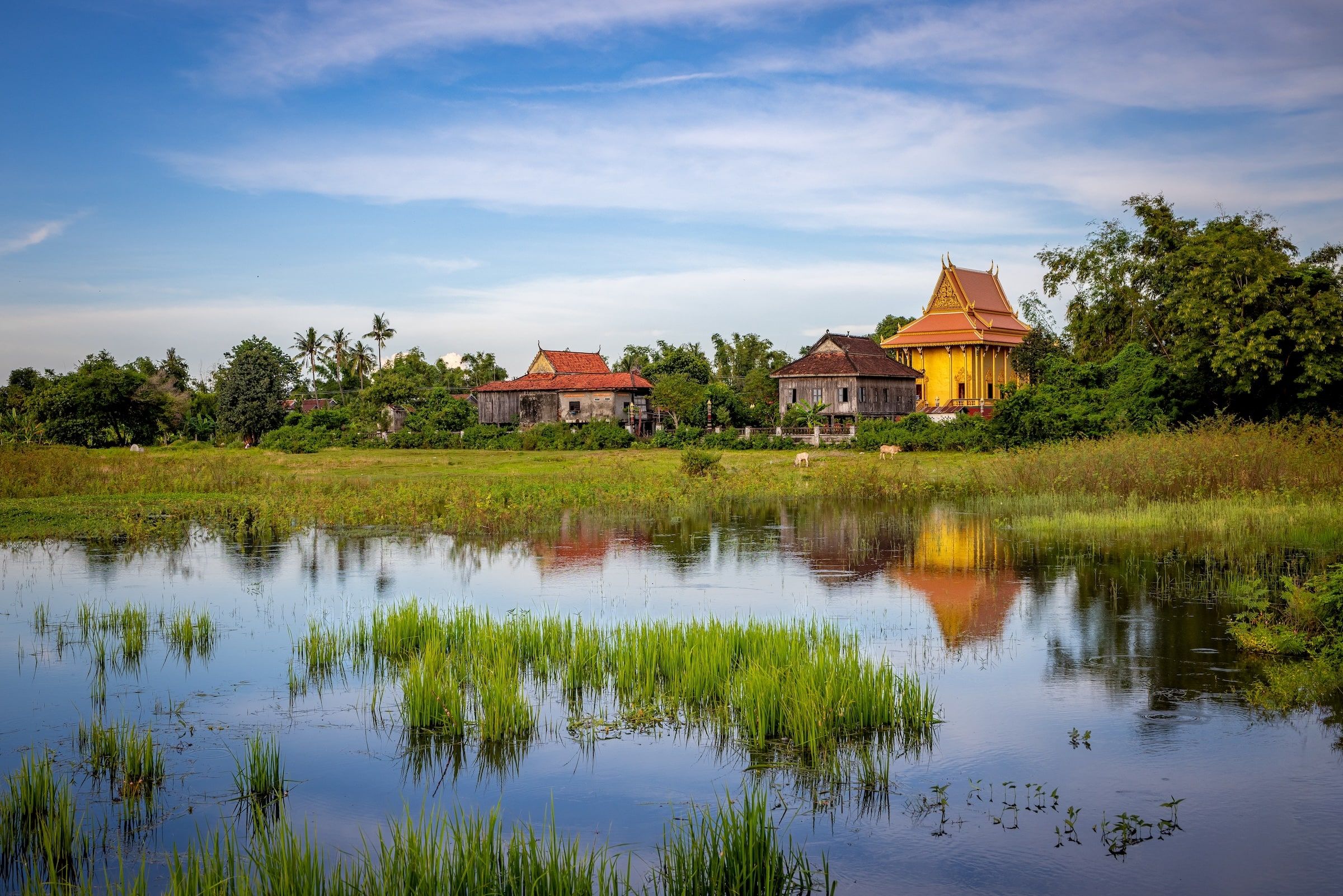
Photo by Shutterstock
The Mekong in Cambodia: where the river runs, from the Khone Falls to the delta
In Cambodia, the Mekong becomes a wide, slow river. It flows down from Laos to Phnom Penh, where it meets the Tonle Sap, then splits into two branches toward Vietnam. Here's where it runs, town by town.
Where the Mekong runs in Cambodia
The river enters Cambodia just below the Khone Falls, which mark the border with Laos and block all navigation. It reaches Stung Treng, where the Sekong flows into the Mekong.
It then runs south to Kratie, where its deep pools shelter the river's last Irrawaddy dolphins, before bending southwest at Kampong Cham.
In Phnom Penh, at the Chaktomuk junction, it receives the Tonle Sap River, which links it to the great lake, and splits in two: the Mekong proper and the Bassac. Both branches then cross into Vietnam.
Cambodian towns on the Mekong, from north to south
From upstream to downstream. A road follows the river for much of the way, from Stung Treng to Phnom Penh.
-
Stung Treng
The first town after the Lao border, where the Sekong meets the Mekong. More of a stopover than a destination.
Our guide to Stung Treng → -
Kratie
Our pickA riverside town known for the Irrawaddy dolphins, which you watch from a small boat at Kampi, a little to the north.
Our guide to Kratie → -
Kampong Cham
A provincial town on the right bank, facing Koh Paen island, on the road between Kratie and Phnom Penh.
-
Phnom Penh
Our pickThe capital, at the Chaktomuk junction: the Mekong, the Tonle Sap and the Bassac meet here, in front of the riverfront.
Our guide to Phnom Penh → -
Kaam Samnor
The river border crossing into Vietnam: boats from Phnom Penh clear the border here before Chau Doc.
The Tonle Sap and the Mekong in Phnom Penh
The Tonle Sap links Cambodia's great lake to the Mekong in Phnom Penh. Its current reverses twice a year, following the monsoon.
During the monsoon
The river fills the lake
The Mekong flood pushes water back up the Tonle Sap River toward the lake, which spreads over forests and rice fields.
In the dry season
The lake drains into the river
When the Mekong drops, the river flows its usual way again and the lake drains toward Phnom Penh, leaving flooded land rich in fish.
The Water Festival
Bon Om Touk, in November
Cambodia celebrates the return of the current in Phnom Penh, with boat races along the riverfront. In 2026 the public holidays fall on November 23 to 25, but the capital's celebrations are cancelled for the second year running; provinces may still celebrate.
The Mekong in Cambodia through the seasons
From November to February, the dry season is the most pleasant, and the river uncovers its sandbanks at Kratie. During the monsoon, it runs high and fast, and the Tonle Sap flows back toward the lake. The Kratie dolphins are easiest to see in the dry season, December to May, when low water gathers them in the deep pools.
When to go to the Mekong, month by month →Questions about the Mekong in Cambodia
Does the Mekong flow through Siem Reap?
Can you take a boat from Laos to Cambodia on the Mekong?
Which bridges cross the Mekong in Cambodia?
Sources: river course and borders, Natural Earth; length calculated on that course; Mekong River Commission (Tonle Sap regime, 2009 and September 2025 report); Water Festival, Cambodianess (July 2026); dolphins, Cambodianess and Visit to Cambodia (2025); bridges, Wikipedia, Japan Society of Civil Engineers (Tsubasa), Southeast Asia Infrastructure (Kratie, 2025) and IPS Cambodia (2026). Updated October 12, 2026 by Pierre-Marie Coupry.