The Tonle Sap, a two-way river
The Tonle Sap River runs 120 kilometers (75 miles) from the great lake of the same name to the Mekong, which it joins at Phnom Penh[1]. Part of the year, it flows like any river, from the lake to the Mekong. The rest of the year, it flows backward.
People often say it changes direction “twice a year”: once when the flood begins and it starts flowing up toward the lake, and again when the water falls and it returns to its normal course. No other river in the world reverses on this scale[2].
Falling water and dry season · late September to May
The lake drains into the Mekong.
Flood · late May to September
The flooded Mekong pushes up the river and fills the lake.
Why the Tonle Sap's flow reverses
It all comes down to a difference in water level. With the monsoon, the Mekong rises several meters and, at Phnom Penh, climbs above the level of the lake. Water follows the slope: it pours into the Tonle Sap River and flows up to the lake. This reverse flow usually starts in late May and peaks in late August, at around 10,000 cubic meters (350,000 cubic feet) per second[2].
The lake then acts as a reservoir. About half of the water it holds in flood comes up the river, against the usual current, and another ten percent or so spills straight from the Mekong across the floodplain; the rest comes from its own tributaries[2]. When the river falls, around late September, the current turns back toward Phnom Penh and reaches the same flow rate within a few weeks[2].
The water released back into the river in the dry season keeps the Mekong flowing downstream. It holds back saltwater in the delta, in Vietnam[2].
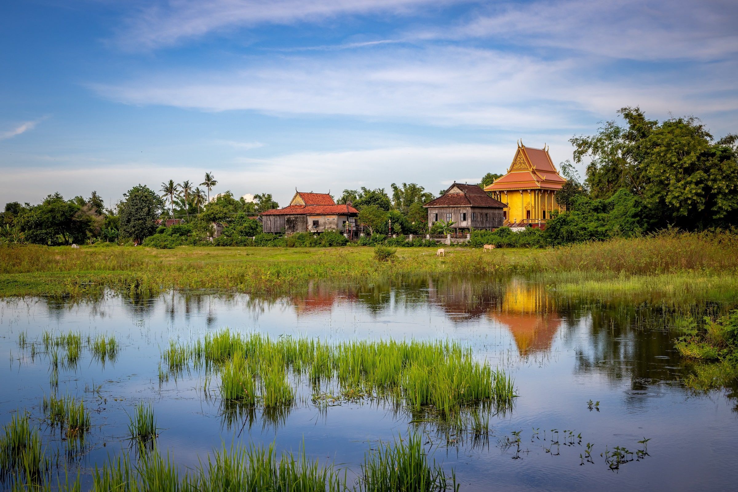
Tonle Sap Lake grows six times larger in flood
In the dry season, the lake covers 2,500 km² (about 965 sq mi) on average and is one meter (3 feet) deep. In a typical flood, it spreads over 15,000 km² (about 5,800 sq mi) and its average depth rises to 6 to 9 meters (20 to 30 feet)[2]. It peaks between late September and early October and is lowest in late April[2]. The forests along its shores spend months underwater, and fish find plenty to feed on there[2].
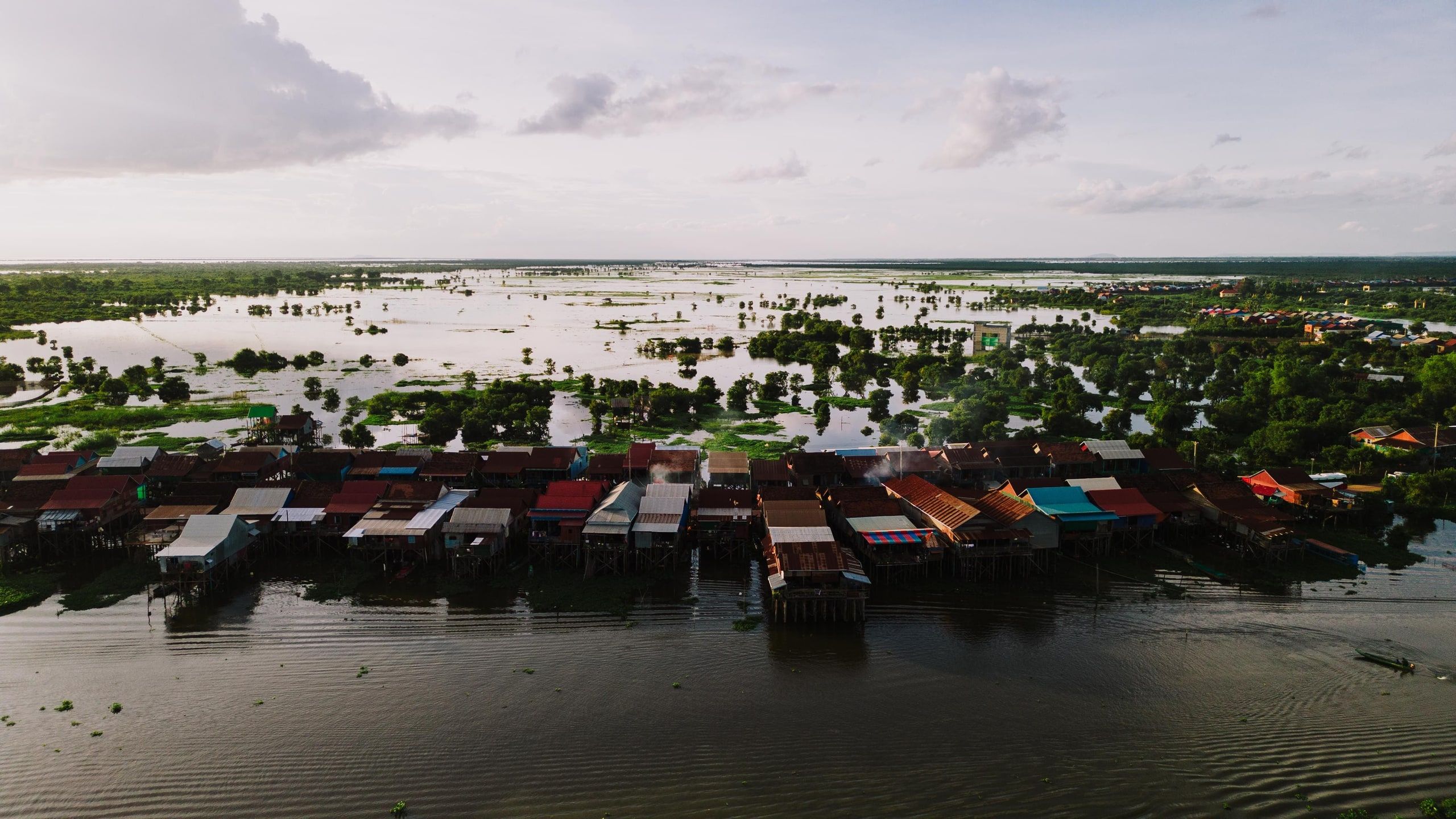
Photo by K on Pexels
Living to the rhythm of the Tonle Sap
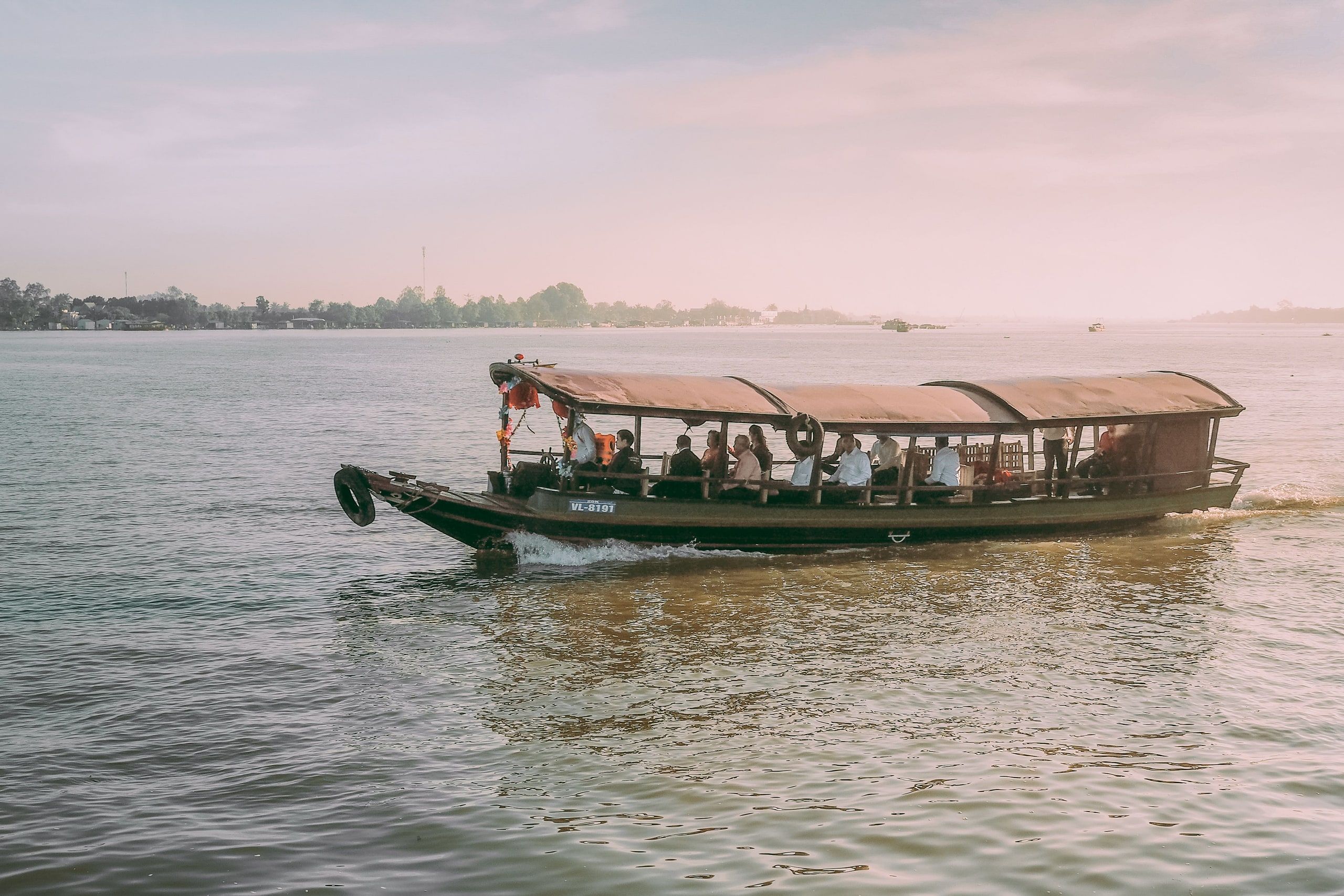
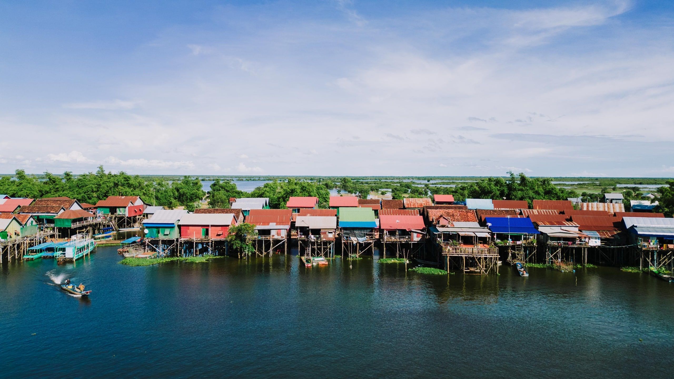
In the early 2000s, more than 1.2 million people around the lake depended on fishing. The Tonle Sap supplied more than half of Cambodia's fish, at a time when the country's freshwater catch topped 400,000 metric tons a year[3]. Villages follow the water level: houses on tall stilts, as in Kampong Khleang, or floating houses that move with the shoreline.
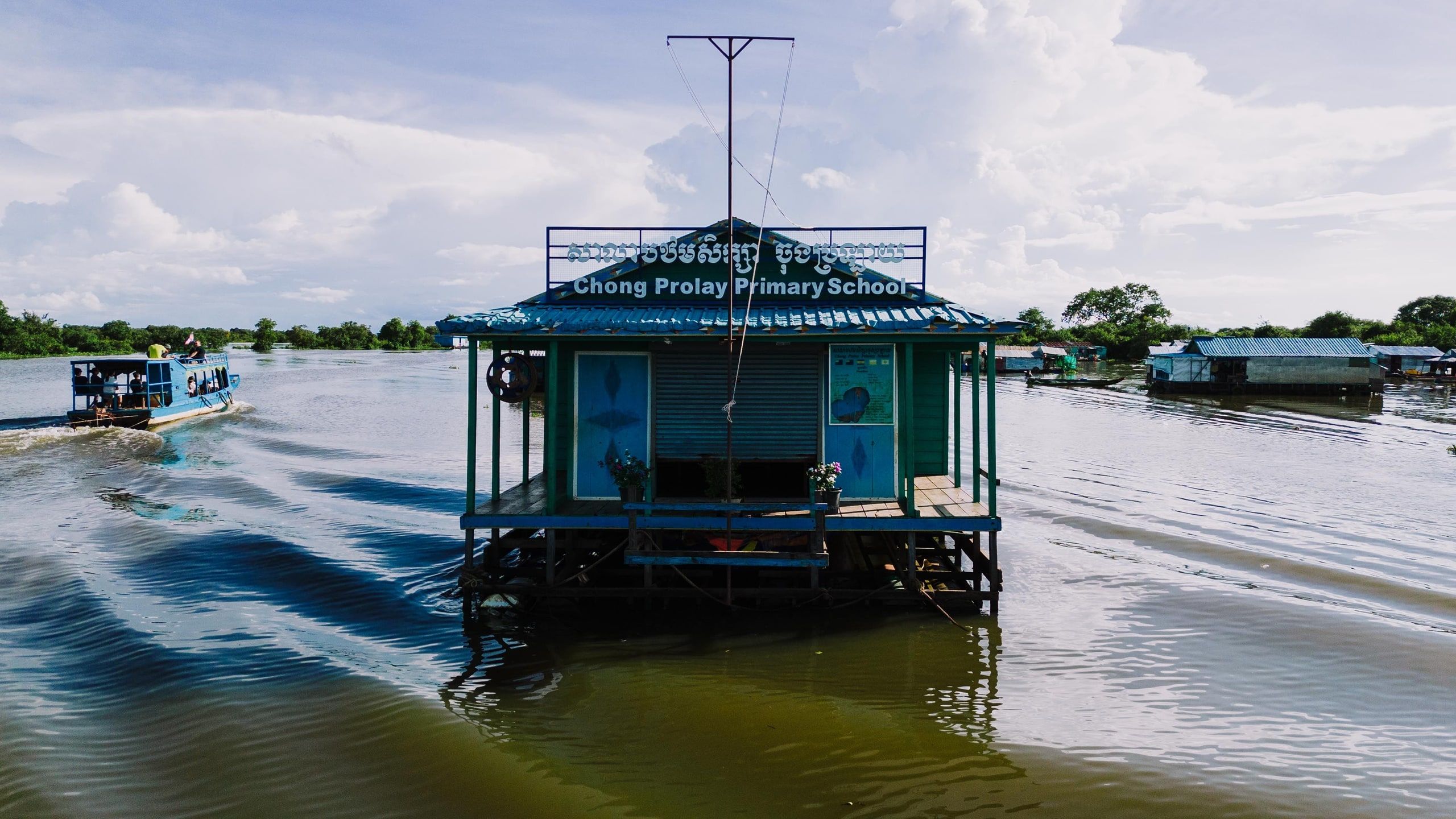
Photo by K on Pexels
The lake has been a UNESCO biosphere reserve since 1997[4]. At the end of the rainy season, a few weeks after the current turns back toward the Mekong, Phnom Penh usually celebrates Bon Om Touk, the Water Festival, with boat races in front of the Royal Palace.
Why the Tonle Sap is getting less and less water
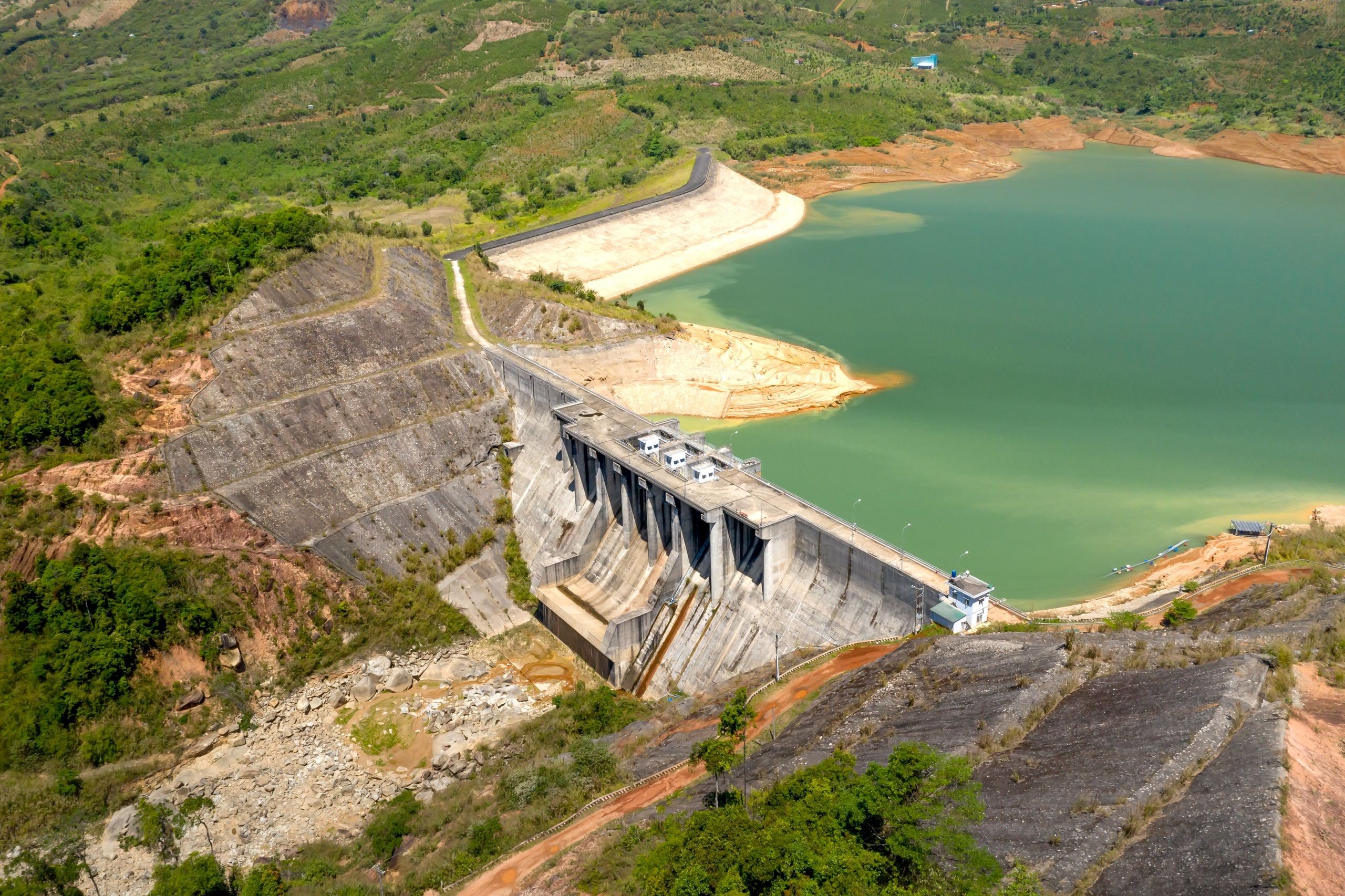
The volume flowing up to the lake is shrinking. In 2020 and 2021, it reached only 58% and then 51% of the average, according to the MRC[5]. A study published in November 2025 blames most of the drop on the lowering of the Mekong's bed, scoured by sand mining and starved of the sediment held back by dams upstream: between 1998 and 2018, that volume fell by 40 to 50%[6].
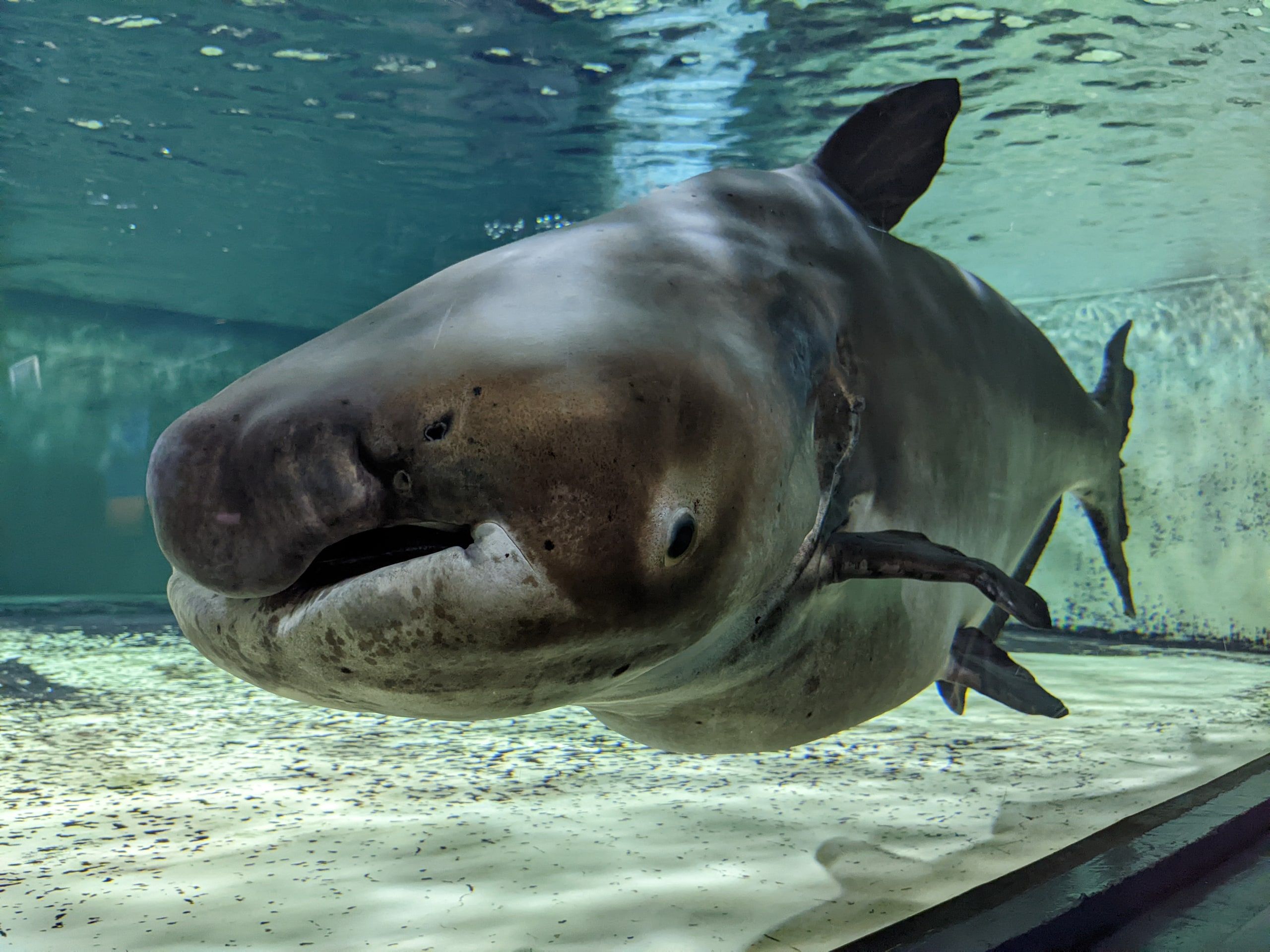
Fish are following. Over seventeen years of records from the “dai” fishery, fixed nets set across the Tonle Sap River, fish abundance fell by 87.7%, and more than 74% of the 110 species tracked are declining. The authors point to altered flows, the loss of flooded forests and overfishing[7].
When to see the Tonle Sap in flood
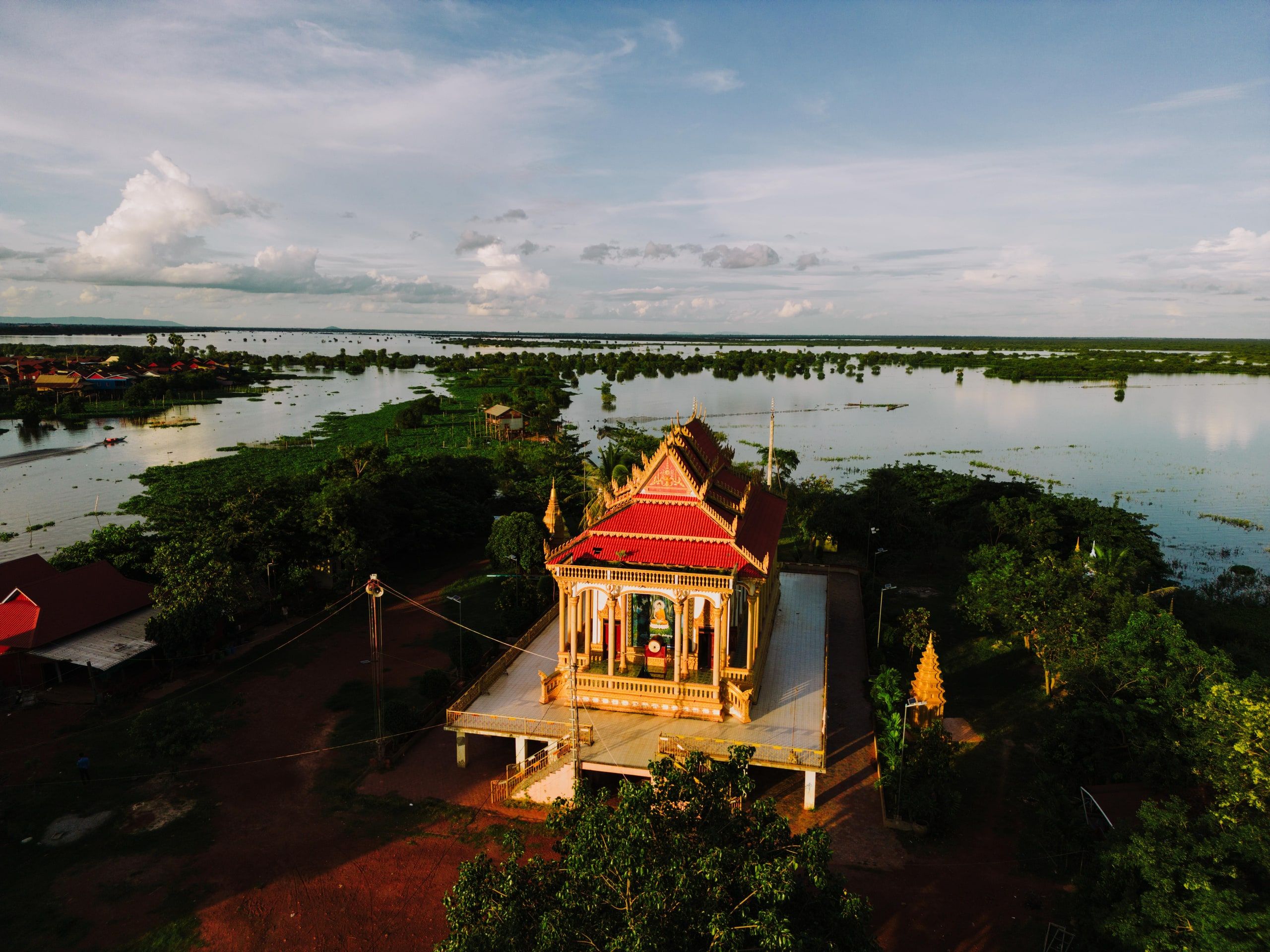
To see the lake full and the villages on the water, come between late September and November: the lake reaches its highest level in early October, then slowly drains[2]. That's also when cruises can reach Siem Reap across the lake. In late April, the lake is at its lowest, with about half a meter (under 2 feet) of water in places[2]: the stilt houses then stand high above dry banks.
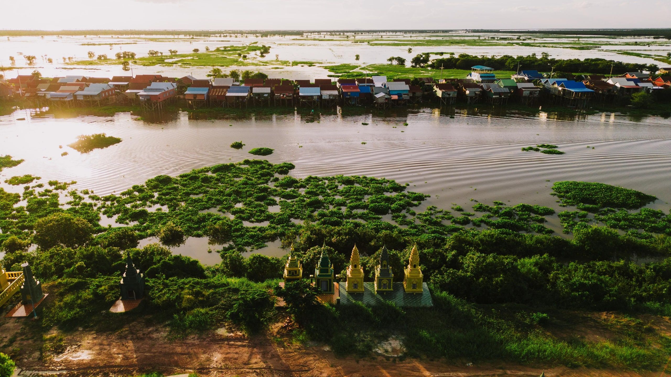
Photo by K on Pexels
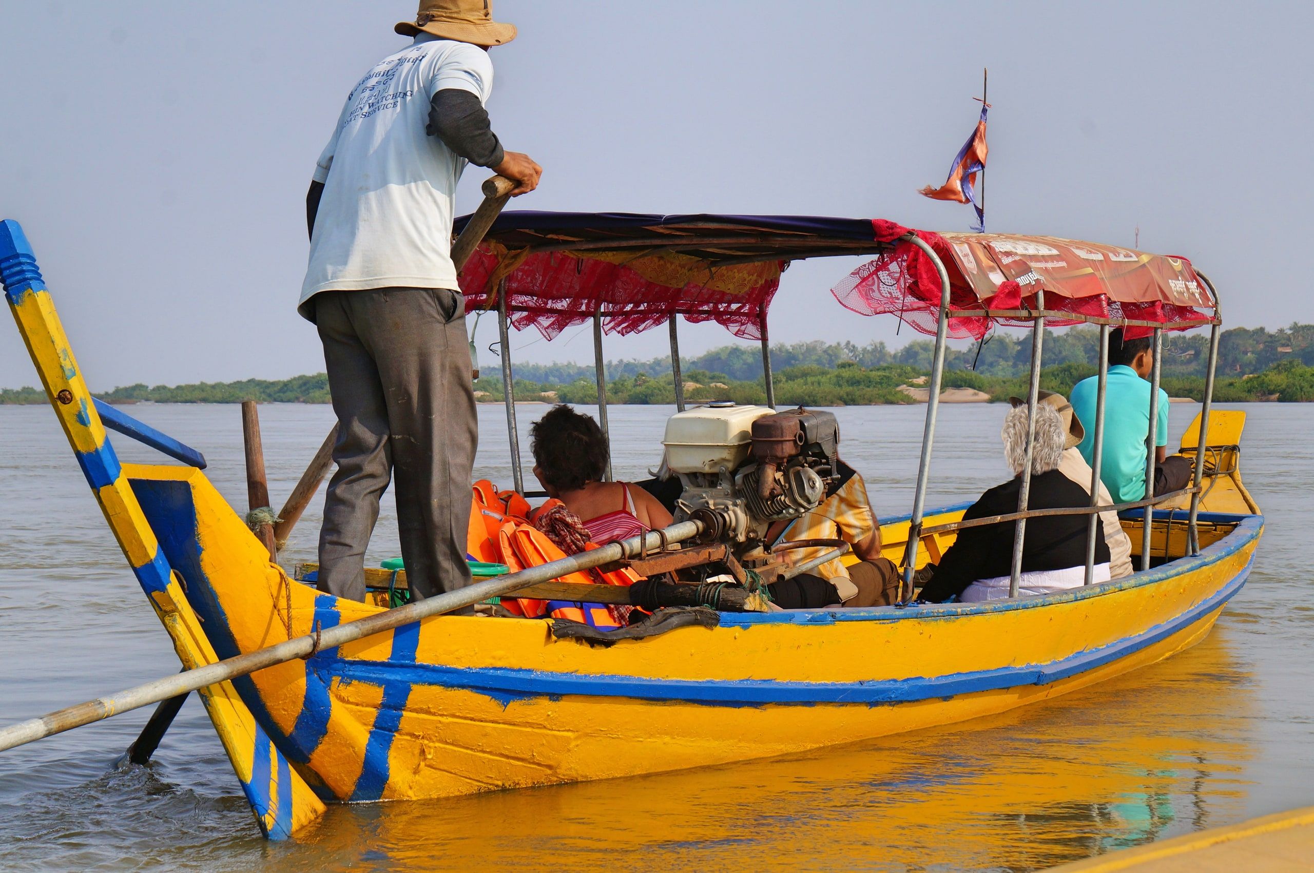
From Siem Reap, you visit the lake's villages by boat. Kampong Phluk, the busiest, takes half a day; Kampong Khleang, the village in the photos on this page, takes a full day.
3 lake tours to book from Siem Reap
Affiliate links GetYourGuide · Prices checked October 8, 2026
-
Kampong Phluk floating village by boat
- 6 hours
- Private group
- 4.9/5 · 8,408 reviews
from$19
Availability -
Kampong Khleang floating village, full day
Top rated- 6.5 hours
- Small group
- 5/5 · 15 reviews
from$110
Availability -
Sunset dinner cruise
- 4 hours
- Small group, 10 max
- 4.3/5 · 357 reviews
from$49
Availability
Sources
- Mekong River Commission, “Hydrology”: length of the Tonle Sap River , accessed October 8, 2026
- Mekong River Commission, “Overview of the Hydrology of the Mekong Basin,” sections 2.3 and 6.2: lake area, depth and volume, timing of the reversal (archived copy) , November 2005
- N. van Zalinge (MRC Fisheries Programme), “Data requirements for fisheries management in the Tonle Sap,” in FAO, RAP Publication 2003/01 , 2003
- UNESCO, Man and the Biosphere Programme, “Tonle Sap Biosphere Reserve” , accessed October 8, 2026
- Water Power Magazine, “MRC says bold actions needed to address low Mekong flows” (MRC report on the 2019-2021 low flows) , January 18, 2022
- Le et al., “Sand-mining-driven reduction in Tonle Sap Lake's critical flood pulse,” Nature Sustainability (Newcastle University press release) , November 2025
- Chevalier et al., “Long-term data show alarming decline of majority of fish species in a Lower Mekong basin fishery,” Science of the Total Environment, vol. 891 , September 2023

Pierre-Marie Coupry
Editor-in-chief of the French travel site Bon Plan Voyage, where he has published since 2012. He checks every practical detail against official sources and proofreads everything before it goes live.
Our method