Photo by Michael Woodhead on Wikimedia Commons · CC BY-SA 2.0
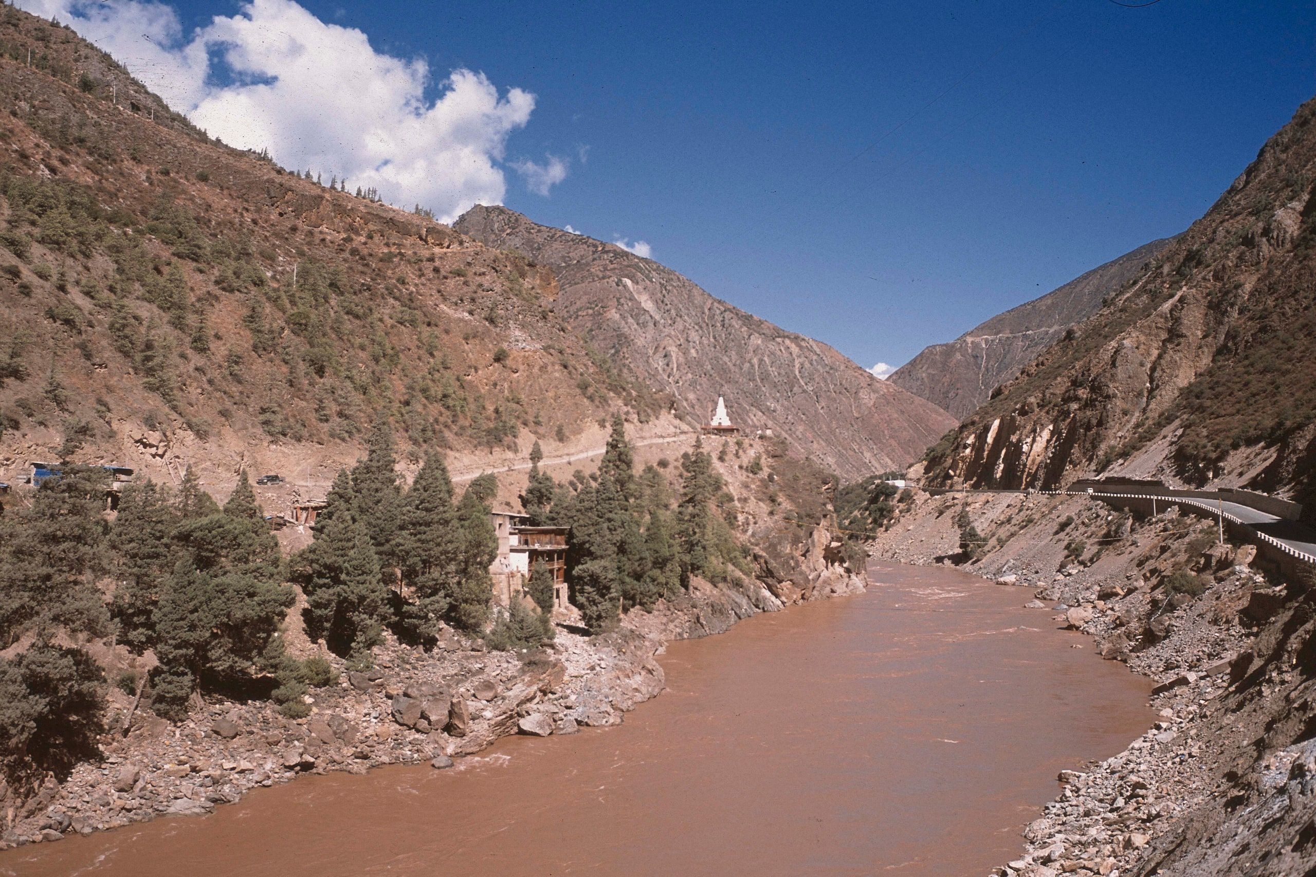
The source of the Mekong: where the river begins, on the Tibetan Plateau
The Mekong begins in China, more than 5,000 meters up on the Tibetan Plateau. It then runs south through deep gorges to Yunnan, before reaching Laos, Thailand, Cambodia and the sea, in Vietnam.
Where does the Mekong River start?
The Mekong starts on the Tibetan Plateau, in China's Qinghai province, at 5,224 meters. A Chinese Academy of Sciences expedition located it in 2007 at the Lasagongma spring, on Mount Guozongmucha, in Zadoi County.
It is not the only proposed source: several streams on the plateau claim the title, and the one you pick changes the river's length. That's why sources give either 4,909 km or 4,350 km.
The stream first carries the Tibetan name Dza Chu. At Qamdo, it receives a tributary and becomes the Lancang, its Chinese name. It then runs south through deep gorges, side by side with the Salween and the Yangtze: the Three Parallel Rivers of Yunnan, a UNESCO World Heritage site.
After Jinghong, in Xishuangbanna, it leaves China and forms the border between Myanmar and Laos down to the Golden Triangle. From there, it still has a little less than half of its course to run to the South China Sea, in Vietnam.
From the Tibetan Plateau to the Golden Triangle: landmarks of the upper Mekong
From upstream to downstream. Few travelers come this way: mountain roads, high altitude and few riverside towns.
-
The Lasagongma spring
On the Tibetan Plateau, in Qinghai, at 5,224 m. A remote area with no road to the source, inside Sanjiangyuan National Park, whose protected zones have been closed to tourism since 2023.
-
Qamdo
A town in eastern Tibet, where the Dza Chu receives a tributary and takes the name Lancang.
-
Deqin and the Meili Mountains
In northern Yunnan, the river runs at the bottom of a gorge, below the Meili Mountains.
-
Jinghong
The capital of Xishuangbanna, the last big Chinese town on the river.
Our guide to Jinghong → -
The Golden Triangle
Our pickThe river has left China: here it separates Myanmar, Laos and Thailand. This is where travel on the Mekong really begins.
The Mekong's names, from source to sea
The river changes its name in almost every country.
Dza Chu
in Tibetan
The name of the stream on the plateau, from the source down to Qamdo.
Lancang
in Chinese
The river's name in China, from eastern Tibet to Yunnan.
Mae Nam Khong
in Lao and Thai
Literally “the Khong River”: this is where the name Mekong comes from.
Cuu Long
in Vietnamese
“The nine dragons,” after the mouths of the delta.
Questions about the source of the Mekong
Do the Mekong and the Yangtze start in the same place?
Where does the Mekong start and end?
What is the Mekong called in China?
How long is the Mekong River?
Can you visit the source of the Mekong?
Sources: Liu et al. (2009) for the source and length; Mekong River Commission; UNESCO (Three Parallel Rivers of Yunnan); access, Sanjiangyuan National Park administration (May 2023) and China's 240-hour transit rules; river course and borders, Natural Earth. Updated October 11, 2026 by Pierre-Marie Coupry.